From Satellites to Soil: Measuring Nature’s Comeback

How wetlands in southwest England help shape the future of biodiversity monitoring
In the rolling hills of southwest England, rivers remember how they once flowed free. Today, those memories are being revived — through careful restoration and new technologies that help make nature’s recovery visible, measurable, and ultimately valuable.
This short documentary follows the BIO-CAPITAL project as it explores how Earth Observation (EO) data can reveal the ecological impact of river and wetland restoration — and how this information could one day form the basis of measurable biodiversity value.
Restoring Rivers — and Rethinking Value
At the heart of this story is the Westcountry Rivers Trust (WRT), an environmental charity that has been protecting rivers and wetlands across southwest England for decades. Field officer Rachel spends most of her time knee-deep in streams, creating ponds, bunds, and scrapes designed to slow water and give space back to nature.
“Monitoring biodiversity uplift is one of the hardest parts of any restoration project,” Rachel explains. “It’s often underfunded — and that’s why exploring satellite imagery is so exciting for us.”
BIO-CAPITAL brings together this local expertise with EarthDaily Agro’s experience in remote sensing. Using GPS data and field observations, remote-sensing expert Harold compares what satellites can see from above with what conservationists observe on the ground. The goal: to test whether changes in vegetation, moisture, or biomass detected from space can serve as reliable indicators of biodiversity recovery.
Seeing Change from Above
At small wetland sites near Dartmoor National Park, Harold and maps interventions such as scrapes and ponds — then analyses whether these features show up in satellite imagery. When conditions are right, time-series analysis can reveal subtle seasonal shifts that reflect vegetation growth and habitat health.
Yet, as Harold notes, not all sites are easy to see:
“Dense vegetation or small restoration areas can push the limits of what satellite data can capture. But by combining field data and EO imagery, we can start to calibrate meaningful indicators for biodiversity uplift.”
This combination of muddy boots and clean data is where BIO-CAPITAL’s innovation lies: turning local restoration work into quantifiable, verifiable change.
Duchy College: A Living Laboratory
A key stakeholder in this effort is Duchy College, an agricultural and environmental training campus in Stoke Climsland, Cornwall.
The college manages extensive wetland areas and has become a valuable test site for scaling up the project’s methods.
Here, landscape architect Gemma shows how engineered ponds and bunds are helping to retain water and create habitats for freshwater species.
“Standing water is incredibly important for biodiversity,” she says. “We now have ponds that stay full most of the year — providing habitats for invertebrates, birds, and other wildlife.”
For Harold, these landscapes are also a perfect testing ground: their complex patchwork of fields, hedgerows, and wetlands mirrors the diversity of rural England, helping to refine EO-based monitoring approaches under real-world conditions.

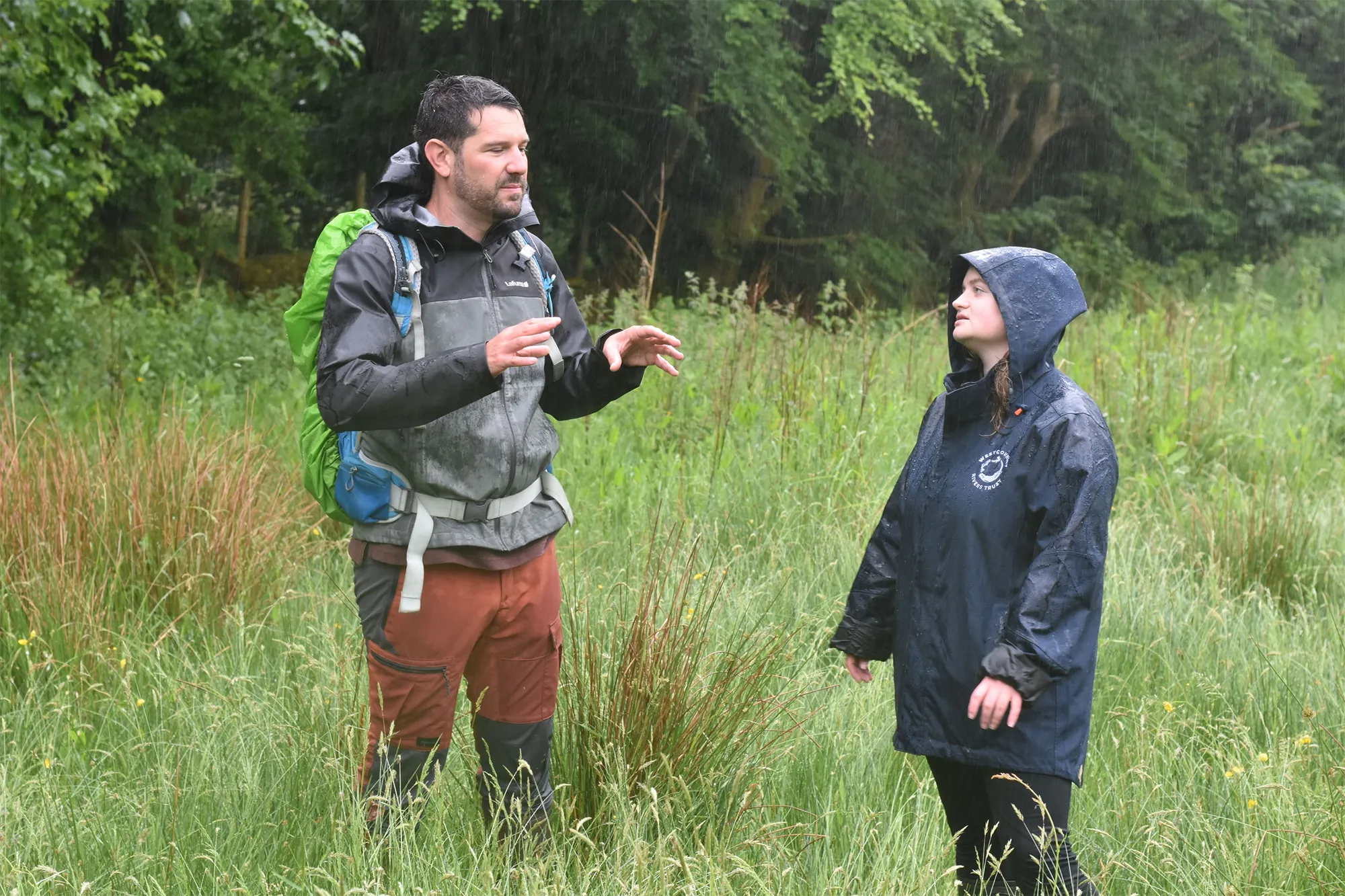
Harold and Rachel
Harold and Rachel discussing the visibility of characteristics of wetlands from space.
Towards a New Kind of Capital
For Lawrence, Chief Executive of WRT, the value of this work extends beyond ecology:
“The BIO-CAPITAL project allows us to understand not only the benefits of protecting rivers and giving them space for nature, but also how to market that — for example, through biodiversity net gain schemes.”
By connecting field restoration, remote sensing, and natural capital accounting, BIO-CAPITAL seeks to create a framework where biodiversity gains can become recognised and tradable assets.
It’s a bold vision: that the recovery of ecosystems — once seen as priceless but immeasurable — can now be made both visible and valuable.
